Laser Scanning
(LiDAR Reality Capture)
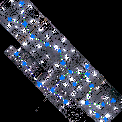
The Site Scan
Unlock the essence of your project with Day Brook Solutions – where the magic begins with our unparalleled site scan, the heartbeat of any reality capture endeavor. Picture this: our expert team seamlessly scans your project, meticulously considering location requirements and utilizing targets to guarantee spot-on registration for both expansive exteriors and intricate building interiors. What's more, we turbocharge the process with the lightning speed of BLK360 scan technology, coupled with intuitive tablet software for swift site pre-registration. The result? A seamlessly orchestrated performance that not only minimizes on-site time but also reduces any potential interference for contractors or owners. Trust Day Brook Solutions LLC. to turn your vision into reality with efficiency, precision, and a touch of magic for an experience that exceeds expectations.
Leica Cyclone Register 360 Plus software is the secret sauce that aligns and seamlessly merges independent scanned point clouds, weaving them together to create a canvas of your project with meticulous accuracy, down to a stunning 1/8". Imagine the magic as these scans come together, revealing object surfaces in exquisite detail. Day Brook Solutions doesn't just capture reality; we transform it into a masterpiece, ensuring every nuance is brought to life with unparalleled accuracy.
Registration
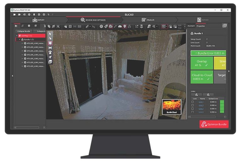
Harnessing the capabilities of Leica Cyclone Register Plus Software, we employ advanced functionalities to meticulously generate an accurate point cloud of your project. This precise representation is then tailored for export in the specific format as requested by the customer, ensuring seamless compatibility and precise data transfer in the technical landscape.
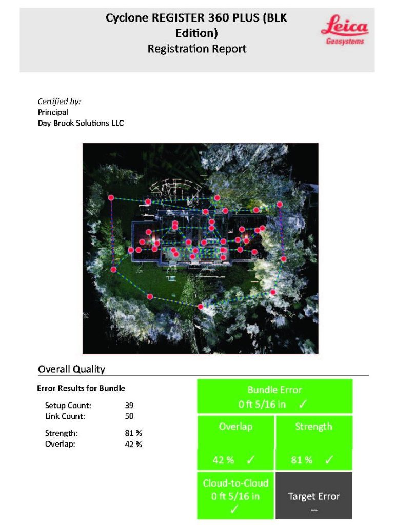
Published LiDAR Scan Project
Upon the successful execution of the site scanning and registration processes, Day Brook Solutions LLC diligently produces a comprehensive project folder tailored to the specific technical needs of our discerning clients. This meticulously curated compilation serves as a detailed repository of relevant data, offering our technical customers an organized and easily navigable resource aligned precisely with the intricacies of their project requirements.
Scan Project Folder Deliverables
- LiDAR Scan report outlining accuracy.
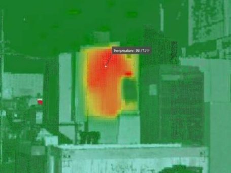
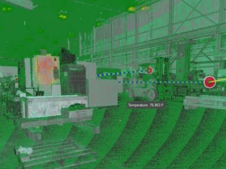
- Site images in HDR, Panoramic and Infrared.
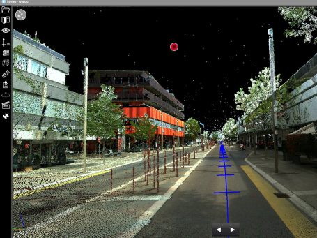
- Registered engineering quality point cloud in the format requested by the client
- Free desktop point cloud viewer for Leica project format data sets.
©Copyright. All rights reserved.
We need your consent to load the translations
We use a third-party service to translate the website content that may collect data about your activity. Please review the details and accept the service to view the translations.